
Crowd sourcing accessibility information
Last Updated: Sun Apr 20 2025
Part of the fun that is needing a mobility aid (be it a wheelchair or walking frame or even just a stick) is the lottery you play when you leave the house to go to an event, or even just to the shops. That lottery is called “Will I be able to get into the place I intend to visit or am I going to be stuck spinning my wheels outside?”
Information about how accessible a venue is can be hard to find, if not downright impossible.
However, hope is not lost, this being the age of the internet, groups are working together to crowd source accessibility information and make it available to all who need it.
Here’s a couple of examples
Roll Mobility
Roll Mobility is an app that has been developed by a group of people (both abled and disabled) in the US. It’s available for both Apple and Android and allows users to create listings for places they visit.
For each listing you’re asked a series of questions about the Venue and Restroom (if any), and of course any general comments you have.
Depending on how you answer the questions, the venue and restroom listings are then given a star rating.
You can also add photos.
At the moment the app mostly has data for the US, however there is nothing stopping people from around the world contributing (I’ve already started) and making a global effort.
Available:
Google: https://play.google.com/store/apps/details?id=com.rollappinc.mobilityapp&pli=1
Apple: https://apps.apple.com/us/app/roll-mobility/id1535814561
Wheelmap.org
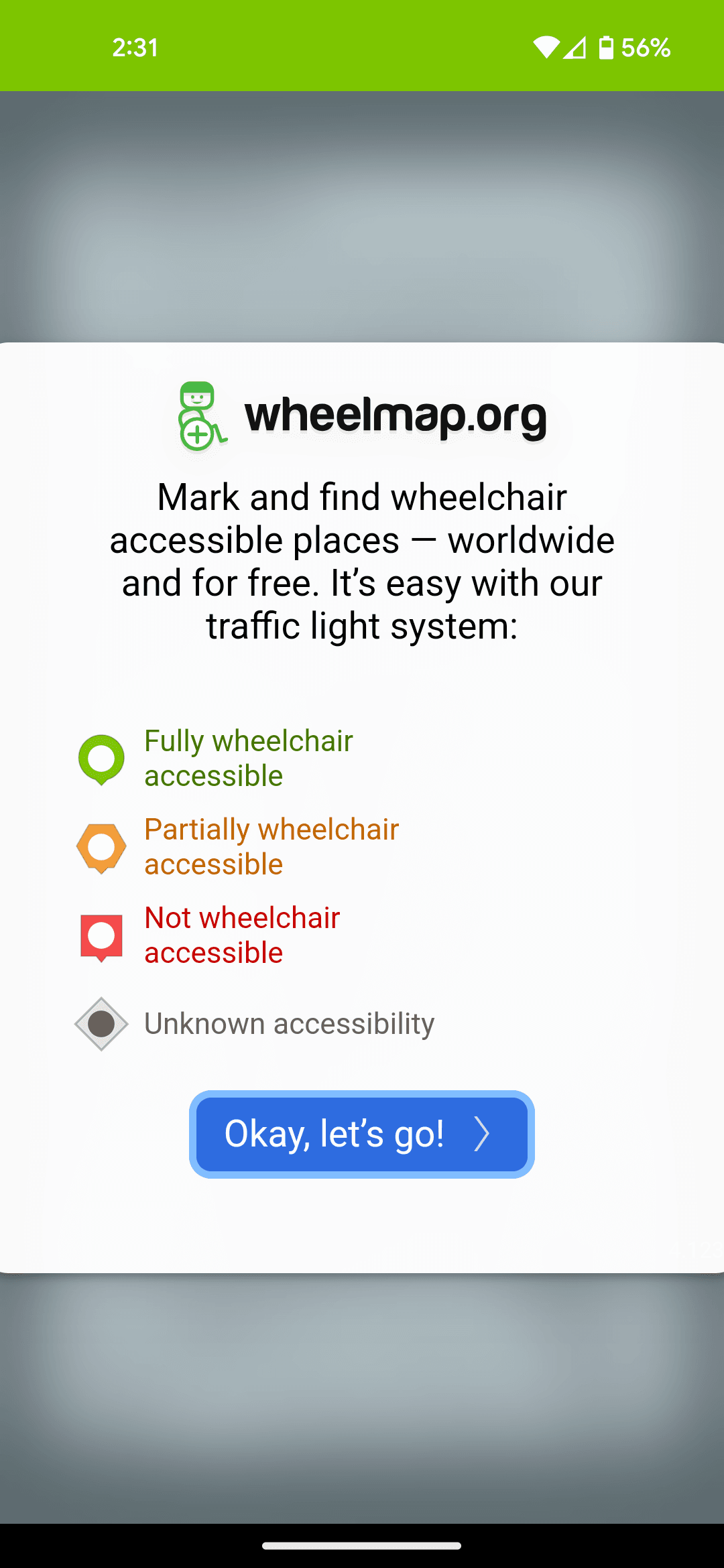
Wheelmap.org was started 15 years ago in Germany by a group called Sozial Helden (Social Heroes in English).
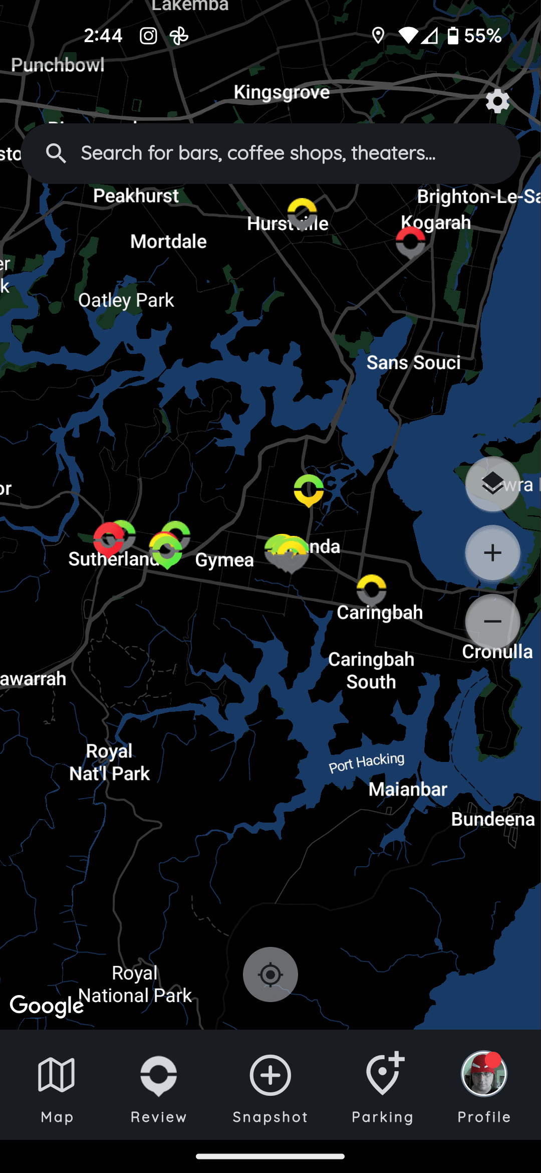
It’s similar to Roll Mobility in that the goal is to crowd source information from people with disabilities as to how accessible locations are. A user can either use the website, or the Android or iPhone app to indicate how accessible a location is using a Traffic Light system.
- Green means fully wheelchair accessible
- Orange, partially accessible
- Red, not accessible by a wheelchair
Again, there’s not a lot of Australian data at the moment, but each journey begins with a single push.
Available:
Google: https://play.google.com/store/apps/details?id=org.wheelmap.android.online
Apple: https://itunes.apple.com/app/apple-store/id399239476?pt=422407&ct=Wheelmap-Blog&mt=8
These are just two of the many projects out there trying to fill a gap and make things easier for people with mobility issues. It doesn’t take much to contribute to the efforts of each group either. In just under a minute, you can share information that will make the next visit by someone with mobility issues a little easier.